Northern Ireland

Northern Ireland Links (Plus More Photos)

12/30

I realize that Northern Ireland and the conflict around it gets quite convoluted at times.  In my last post I probably employed certain phrases and discussed certain issues that I didn't bother to define.    To help your understanding here are a few links that can aid in enlightenment.

CAIN (Conflict Archive on the Internet): Probably the best one stop resource for information on the conflict in Northern Ireland.  Check it out for background.

Good Friday Agreement: Commonly viewed as the agreement to end the Troubles.  The process behind was drawn out and nearly totally derailed on several occasions.  It was not accepted by all paramilitaries leading to continued violence by some dissident groups.  If you have hours of free time consider watching the BBC-produced series "Endgame in Ireland" (available on YouTube).

Should Paramilitary Murals in Belfast Be Repainted? Questions of how to deal with one of the most widely known visible legacies of the Troubles.  I'd argue that they are integral for understanding how participants and community members understand the conflict and that eliminating them at this time would do little to heal the sectarian chasm.

The Siege of Derry as retold by a unionist website- centuries later the events still resonate.

Derry/Londonderry: The politics of the city's complicate even simple news coverage


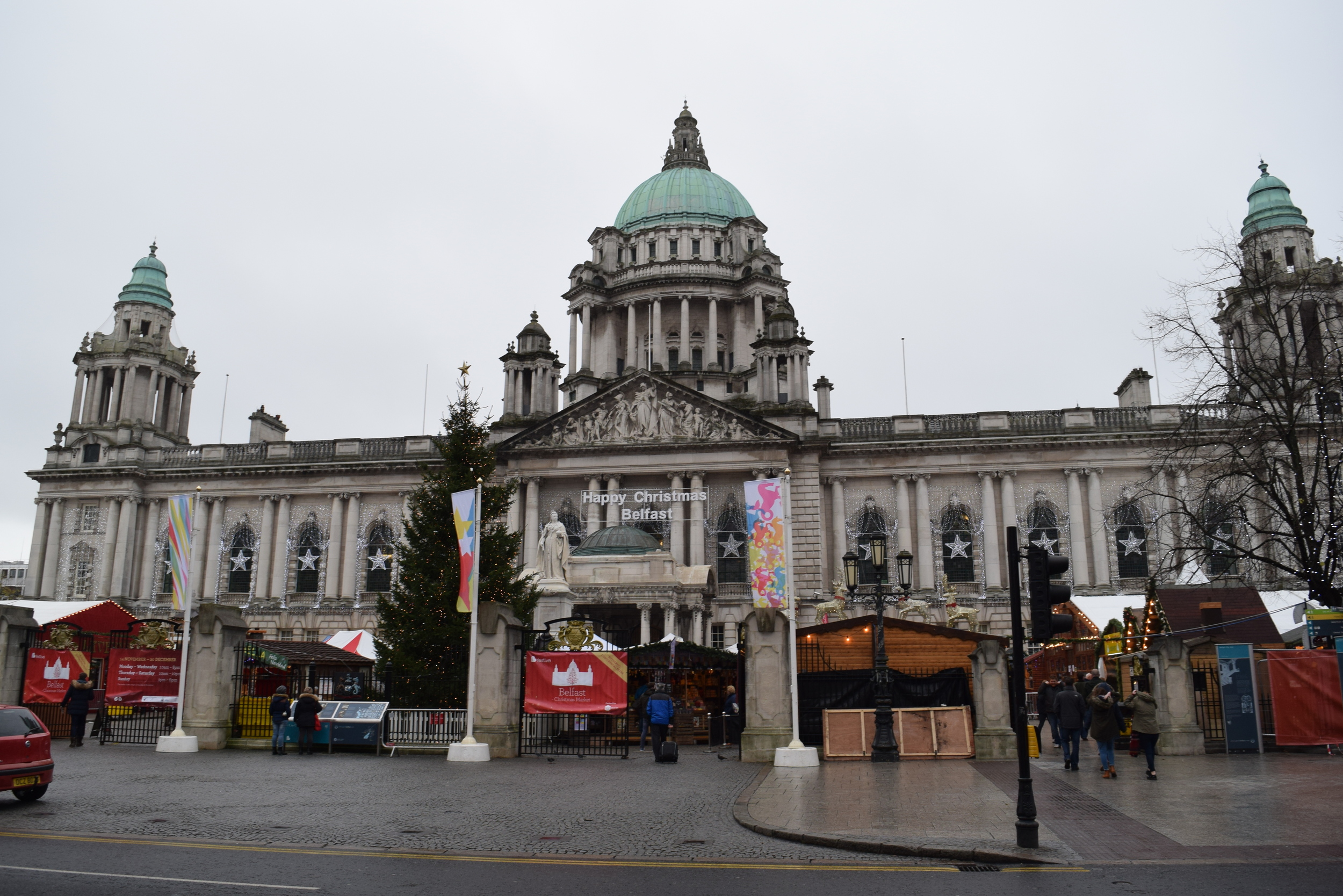
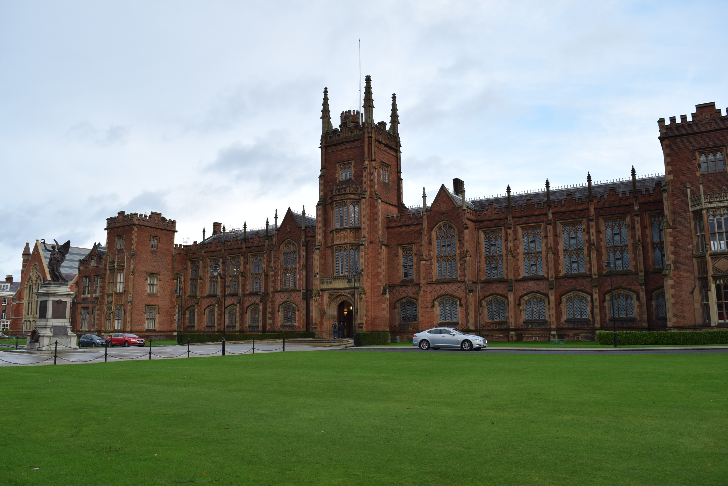
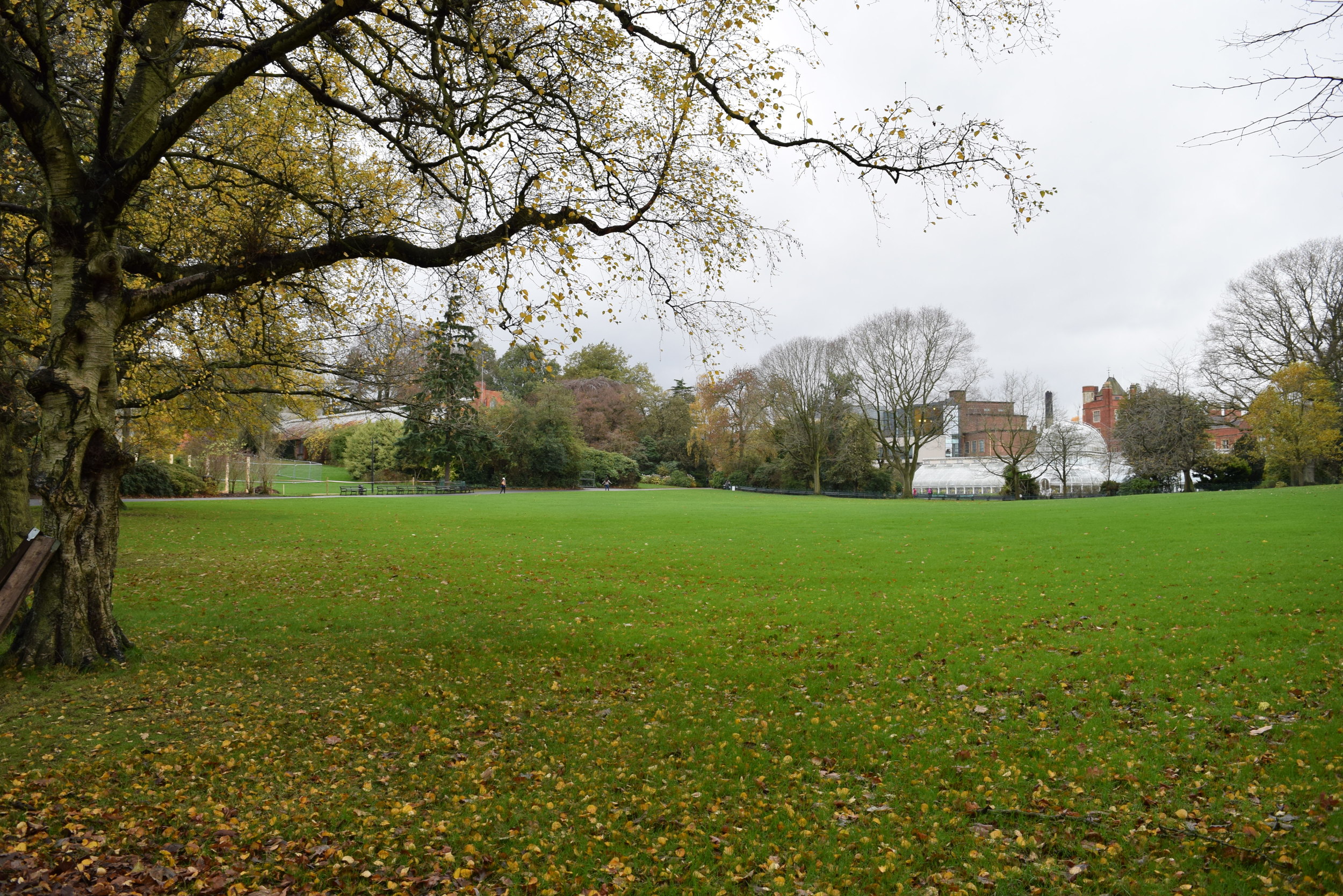
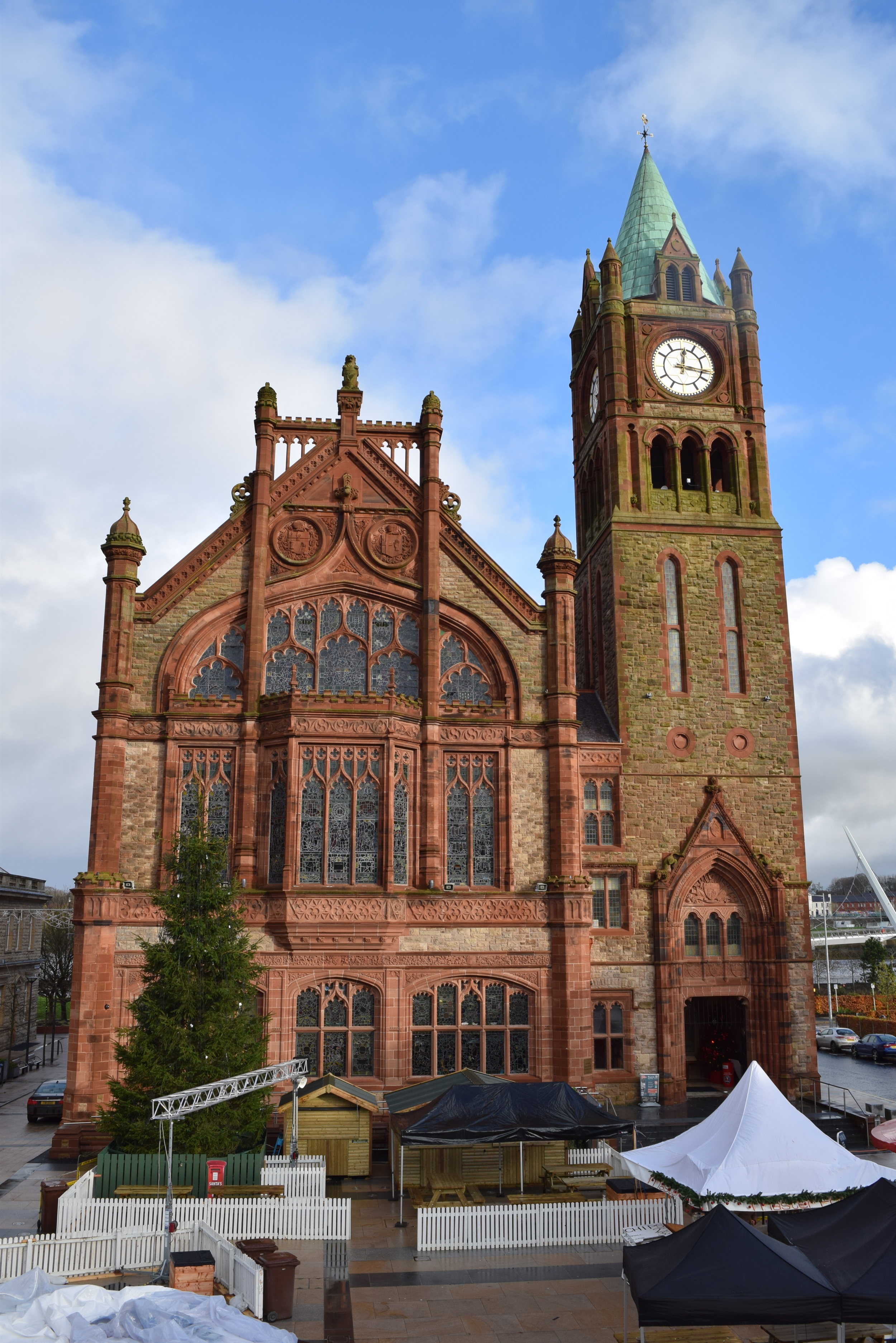
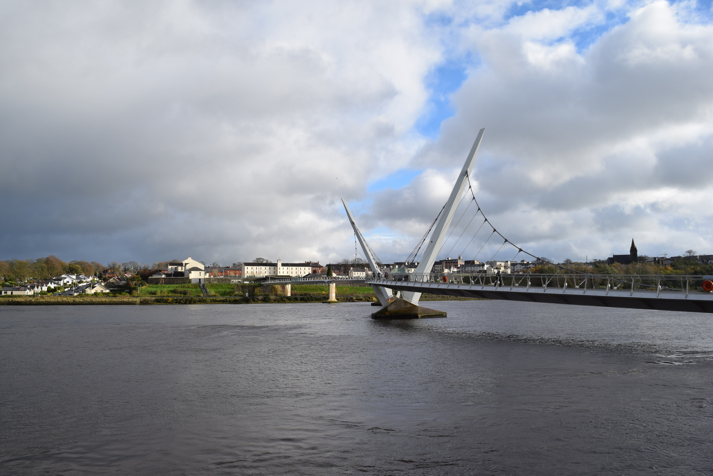
Here are a few more photos of Belfast and Derry:

Hola from Spain (Part Two)

The Bogside in Derry viewed from the city walls

12/12


To pick up where Part One ended, my Ireland experience was not limited to simply the Republic of Ireland.  Northern Ireland is a constituent country of the United Kingdom, but if you were to travel between the Republic and the North without knowing better, you could easily fail to notice that you had made an international journey.  The landscape does not change, no significant geographic features demarcate the border as you travel along the highway to Belfast, and formal border checkpoints are not in place.  An inconspicuous road sign welcomes you to Northern Ireland and alerts you that speed limits are denominated in miles per hour rather than kilometers per hour.  Other subtle signals let travelers know which country they sit in.  Gone are the place names in both English and Irish, as in the Republic.  Northern Ireland’s signs feature only English.  Gone too are references to the Garda, law enforcement on this side of the border is handled by the Police Service of Northern Ireland.  The pound replaces the euro as the currency de jure.  All these differences, even when taken together, seem quite small.  It may be possible to experience Northern Ireland without feeling that it is all that different from the rest of the island.  However, it is the unique history of Northern Ireland, the events before and after the island’s partition in 1921, that were of particular interest to me.

I visited the two largest cities in the Northern Ireland, Belfast and Derry.  While a few days spent between the two cities was not enough to experience them fully, which is a truism for nearly every location, it was sufficient to get a glimpse of what interested me.

The three decades of regular political violence in Northern Ireland known as the Troubles left their mark in both cities.  In Belfast one of the areas that saw the most activity during the Troubles was in West Belfast where the Falls Road and the Shankill Road neighborhoods exist next to each other.  Though both are working class areas, the neighborhoods are divided by sectarian identities.  The Falls is a Catholic neighborhood, while the Shankill is Protestant.

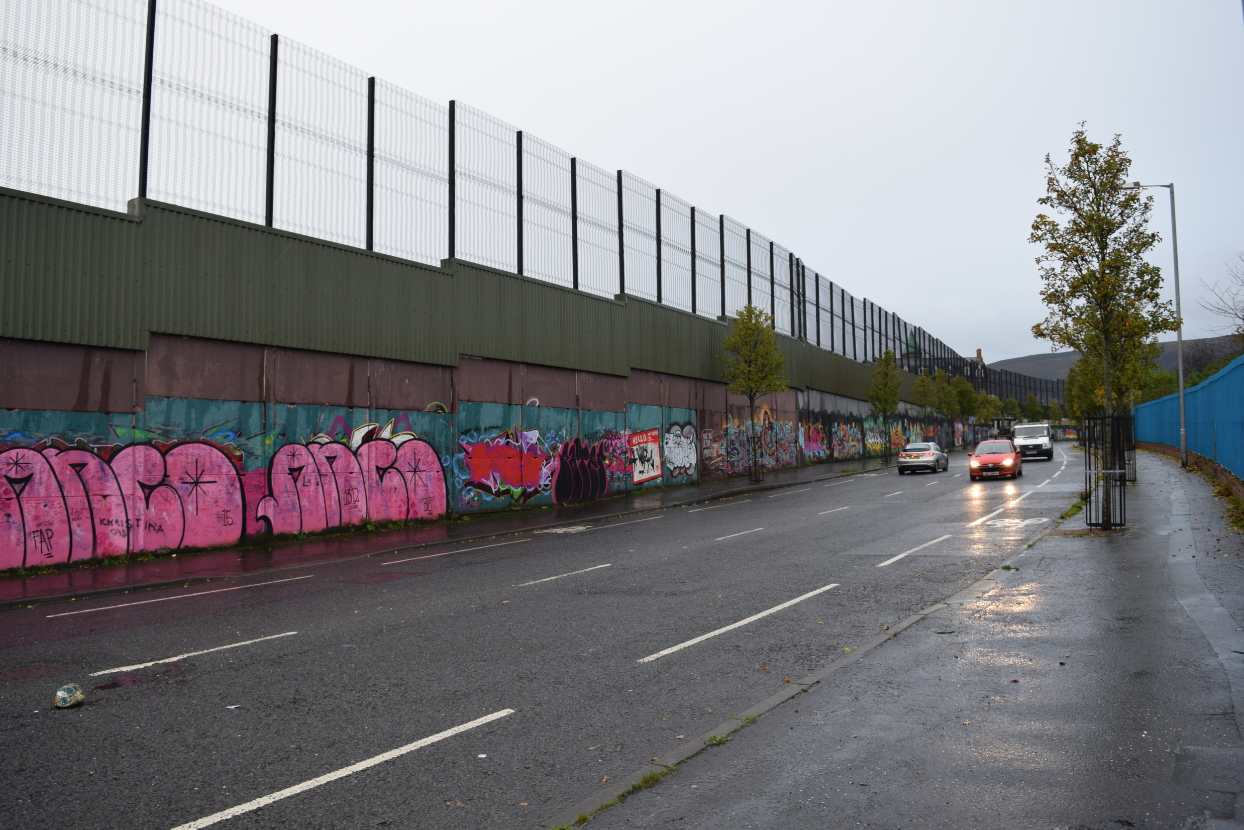
I spent a day walking through both areas.  Though the two neighborhoods sit right next to each other, they are separated by a barrier, sunnily known as a “peace line,” which has remained in place longer than the Berlin Wall. Clues like murals and flags make it clear which side of the barrier a visitor is standing in.

The Cupar Way peace line separating the Falls and the Shankill

The Cupar Way peace line separating the Falls and the Shankill

Located around the Falls Road are a number of places with significance to the Irish republican movement.  A local Sinn Féin office, adorned with a widely reproduced mural of Bobby Sands, sits blocks from the Irish Republican History Museum.  The museum exhibits uniforms, weaponry, political art, and handicrafts relating to Irish republicanism and the Troubles.

Displays in the small, but dense, Irish Republican History Museum

Displays in the small, but dense, Irish Republican History Museum

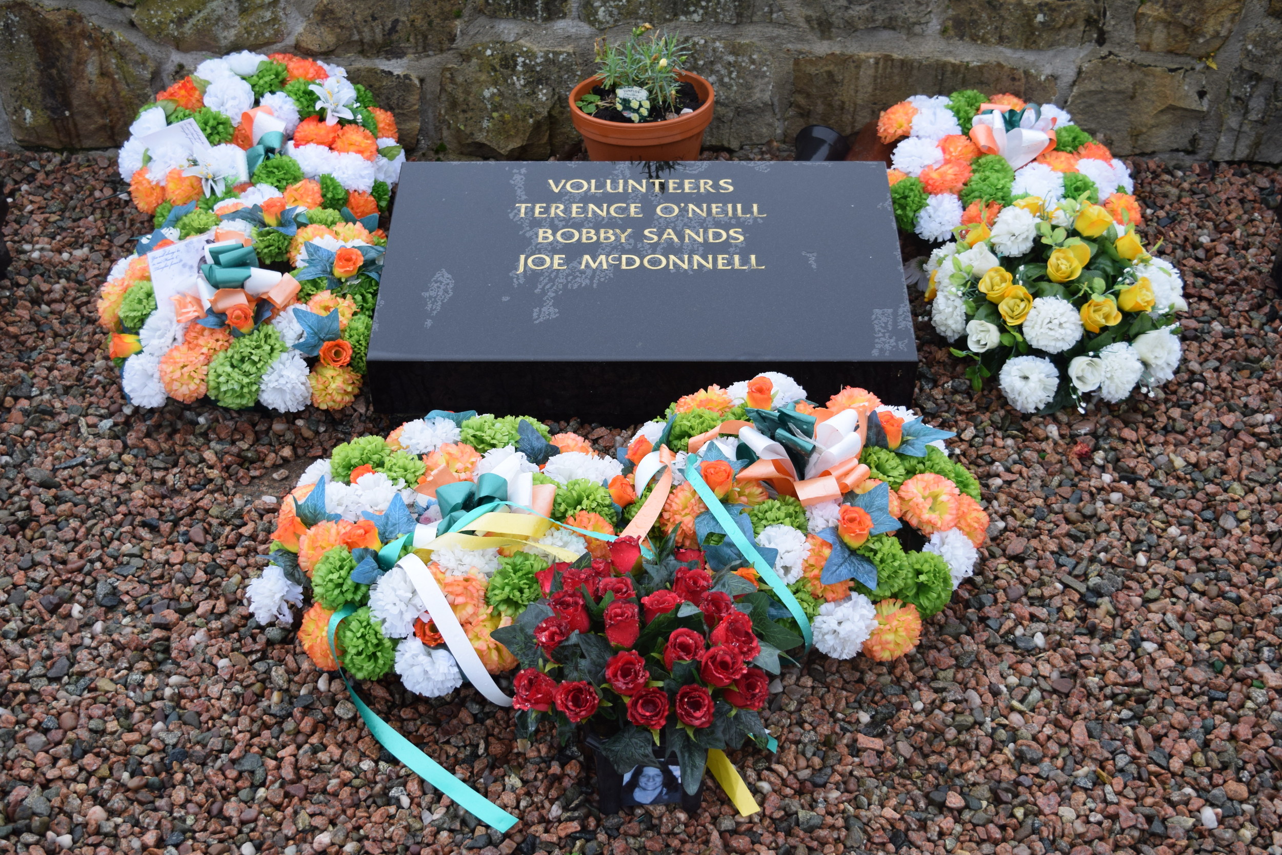
Bobby Sands was an IRA member serving a prison term at the Maze Prison who died after 66 days on hunger strike.  During the strike he was elected to the British parliament.

At the other end of the Falls Road is Milltown Cemetery.  A number of significant Irish republicans are buried in a plot replete with memorials to their efforts.  The most well-known burial is Bobby Sands, but along with him are numerous political activists and Irish Republican Army volunteers.  In 1988 the cemetery gained attention when Michael Stone, a loyalist paramilitary volunteer, attacked mourners at the funerals of three IRA volunteers who were killed in Gibraltar.  Stone used hand grenades and hand guns in the attack to wound more than 60 people and kill three.  Stone was sentenced to life in prison, released in 2000 under the terms of the Good Friday Agreement, and is currently back in prison for plotting to kill two leading Sinn Féin politicians.  He has been celebrated in some quarters of the loyalist community.

A portion of the republican section at Milltown Cemetery

A portion of the republican section at Milltown Cemetery

On the other side of the peace wall are the same kinds of commemorations as in the Falls Road, but from the opposite perspective.  Like the Falls, the Shankill experienced a disproportionate share of violence during the Troubles.  IRA bombings and shootings targeting locations and residents of the neighborhood were common.  Loyalist paramilitaries, notably the Ulster Volunteer Forces and Ulster Defence Association, were based in the Shankill and are still celebrated on a number of murals.

The mural greeting visitors upon walking through the gate between the Falls and the Shankill

UVF memorial mural utilizing poppy imagery typically associated with World War I remembrance.

A memorial to the First World War along the Shankill Road.  Symbolism and rhetoric related to the war is often used by loyalists.

Mural commemorating the Ulster Covenant, a 1912 oath signed by nearly 240,000 men opposing Irish Home Rule.

Belfast is also home to the Ulster Museum.  As the largest museum in Northern Ireland, the Ulster Museum houses an impressive mixture of collections.  A large exhibit is dedicated to the history of Northern Ireland.  Other exhibits include natural history and art.

The facade of the Ulster Museum- notice the bizarre meshing of architectural styles.  The original building was constructed in the 1920s, while the brutalist extension was completed in the 1960s. 

The facade of the Ulster Museum- notice the bizarre meshing of architectural styles.  The original building was constructed in the 1920s, while the brutalist extension was completed in the 1960s. 

With a population of around 100,000, Derry is the second largest city in Northern Ireland.  The name of the city has been a point of controversy between the nationalist and loyalist communities.  Officially, the city is known as Londonderry.  This reflects the contribution of London guilds to the establishment of the modern city during the plantation of Ulster.  The area and an earlier settlement were originally known as Derry.  While both names are commonly used to refer to the area, the decision to use one versus the other was traditionally interpreted as a reflection of a speaker’s identity or sentiments.  Protestants or unionists would refer to the city as Londonderry, while Catholics or nationalists would refer to the city as Derry.  Today Derry is more widely used in the vernacular, regardless of sectarian identity, but the issue remains complicated.

Derry’s old city is contained within a walled area.  The city walls during the 17th century and are the only complete city walls within Ireland.  Historically, the Protestant population lived within the city walls, while Catholics lived beyond them in an area known as the Bogside.  With time the Catholic population has displaced the Protestant population within and around most of the walled city.  The majority of Derry’s Protestants now live on the opposite bank of the River Foyle.

Bloody Sunday Memorial

The 1960s Catholic civil rights movement was strong in Derry.  Among the leaders was future Nobel Peace Prize and Derry native John Hume.  This activism made Derry the setting of a number of the defining episodes in the preceding and early years of the Troubles.  Most notorious of these is Bloody Sunday, an incident in which 14 unarmed civilians were shot and killed by British Army soldiers during a demonstration protesting the practice of internment.  In popular culture this event was commemorated in the U2 song “Sunday Bloody Sunday.”

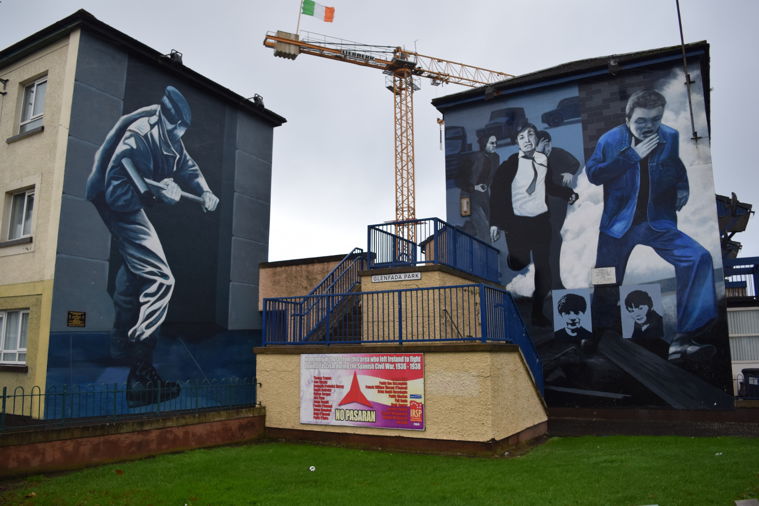
As in Befast, a number of political murals exist in Derry.  The most visible of these are in the area known as Free Derry Corner in the Bogside.  From 1969 through 1972 this area was frequently barricaded off by nationalists and British security forces were prevented from entering. Bloody Sunday occurred in this area.

Iconic Free Derry Mural

A small protestant neighborhood, the Fountain estate, still exists just outside the old city walls.  The neighborhood is enclosed by peace walls on the sides not shielded by the city walls.  British flags, painted curbs, and unionist murals leave no room for doubt as to the neighborhood’s identity.

Loyalist mural in the Fountain.  This relies on several simple, but powerful tropes and historical references.  "No Surrender" is one of the most common loyalist refrains. In 1689, Protestant forces were besieged for three months by Catholic forces during the war between supporters of William of Orange and James II for control of the English throne.  Protestant forces eventually broke the siege.  The use of Londonderry as the place name plays to the language politics of the city.

Free Derry and the events of Bloody Sunday are documented in the Museum of Free Derry.  It is in a small (and quite cold) space within the walled city while the permanent location in the Bogside is being renovated.  The brother of one of the victims of Bloody Sunday guided visitors around the museum during my time at the museum.  His personal experience and stories added to the museum’s displays.

Displays in the Museum of Free Derry

Displays in the Museum of Free Derry

Those sites related to the recent conflicts in Derry are hardly the only things that make the city worth a visit.  As mentioned above, the city walls are a landmark themselves.  They form a one-mile loop.  Provided the weather is pleasant, which is asking a lot considering that it is still the island of Ireland, the walls make for a great walk and way to see both nearby and faraway areas of the city.

The Tower Museum, housed in a tall tower next to the city wall’s, gives the city’s history from early settlement to modern events.  Another exhibit displays finds from a Spanish Armada wreck discovered off the coast of Donegal, just across the border in the Republic.

Derry city walls and gate

Derry city walls and gate

Northern Ireland shares the beauty, allure, and availability of high quality alcohol of its neighbor to the south.  Beyond that, it has the tragic and muddled recent history that continues to shape it.  


Keep checking back for the final post in this series- the one where I actually talk about Spain.